Old U.S. 395 Highway 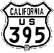 |
San Diego, California |
US 395 1935-1949 Original Segments Included: origin/terminus at Market St & Pacific Highway in downtown San Diego; (Market St & 5th Av, 1960); El Cajon Bl to Fairmount Av near Mission Gorge Rd, south of I-8, Murphy Canyon east of current I-15 (entrance) (old Murphy roadway), Kearny Villa Rd, Old Pomerado Road in San Diego & Poway, Centre City Parkway & Mission Av in Escondido, Hwy 78 & Mission Rd in San Marcos, the old Bonsall Bridge (#2) & Hwy 76 north of Vista, through downtown Fallbrook & Rainbow, and then up to Temecula. |
click to enlarge |
|
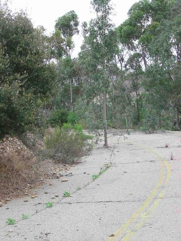
The first table of links below are glimpses of an abandoned quarter mile
section of U.S. 395 (1934-1949) formerly known in San Diego and Poway as "Pomerado Road". Current Pomerado Road (2008) ~ wider angle, looking from east, photo unlabeled
|
 |
|
Orphaned Paved Segments of Early Pomerado Road, U.S. 395 Original Highway to 1949 |
|||
|
end of the
relic road-north in Poway, across from & below Stonemill Dr |
|||
| end of relic road south with current Pomerado Rd & Eastridge Place homes above |
leaving San
Diego northbound on new Pomerado |
new Pomerado
Road 2000-2007
looking north toward Creek Road intersection & Scripps Poway Parkway beyond; the old strip is below the right shoulder & above Creek Road |
|
Early Pomerado Rd at Legacy Road: |
|||
photos above © Derrick Garbell June 2003-2010 |
the "Departure" poem that prefaces the Moody Blues "Ride My Seesaw" ...Or the strength of an oak with roots deep in the ground. The wonder of flowers to be covered, And then to burst up through tarmac to the sun again. Or to fly to the sun without burning a wing, To lie in the meadow and hear the grass sing. To have all these things in our memory's hoard ... |
||
| Photos linked above are from the curve with red arrow at upper right in this view: aerial shot shows all three abandoned early Pomerado segments (thanks to Steve Varner) |
google map's aerial views: |
||
Tying it all together - this aerial photo shows: |
|||
|
Tying it even more together - wider angle aerial photo: includes current I-15 and US 395 Penasquitos Creek Bridge on the west (red arrow), and the Pomerado segments on the east edge of view (purple arrow). |
Pomerado now a U.S. 395 historic roadway Marker signs posted on Old Pomerado Rd & current Pomerado Rd in Poway, March, 2005 |
||
Superlative US 395 Historical Exhibit Definitive Documentation of the "Three Flags Highway" in California, Nevada, Oregon & Washington by Cameron Kaiser at floodgap.com |
|||
Casey Cooper's Historic California US Highways |
|||
Historical Southern California Maps showing US 395 & US 101 evolving alignments |
some historical maps courtesy of Joel Windmiller |
||
| Auto Club 0 & 3 | Auto Club 3 & 4 | ||
Miscellaneous road & map images (38) |
|||
The San Fernando Valley arterial street matrix half-mile intervals |
|||
former US 99, US 60, US 70 in Beaumont & Banning, California |
former US 99, US 60, US 70 in Cabazon, California |
||
| Two favorite U.S. 395 road trips: 1961 & 1975 |
|||
Why road geeks geek: L.A. 4-level & Anaheim 2-level |
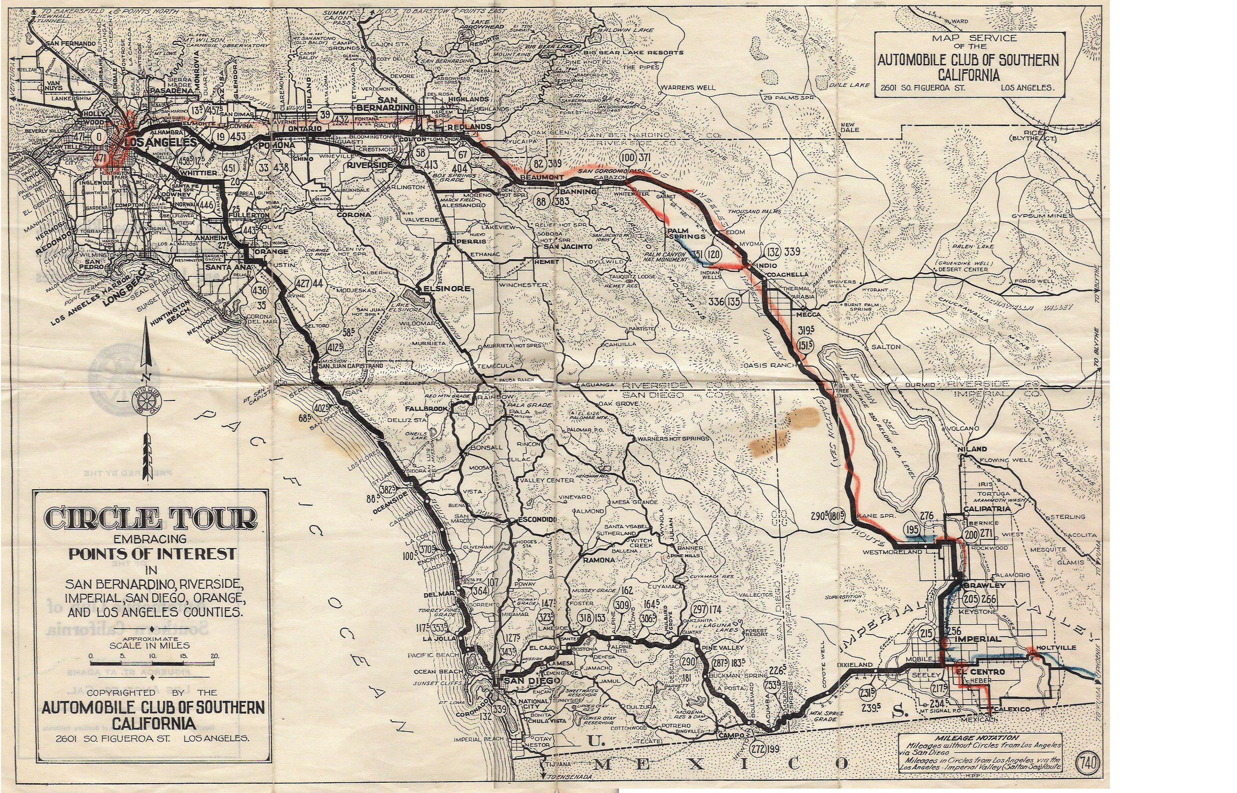
"Circle Route" about 1925, prior to California highway numbering |
||
U.S. Highway 395,
|
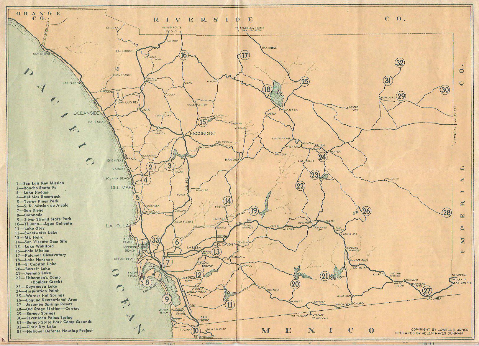
Poway USGS survey map 1879 |
updated 8 August 2020 |
|
Poway City - historical & current info |
|||