U.S. 395 - Final Alignment
San Diego, California
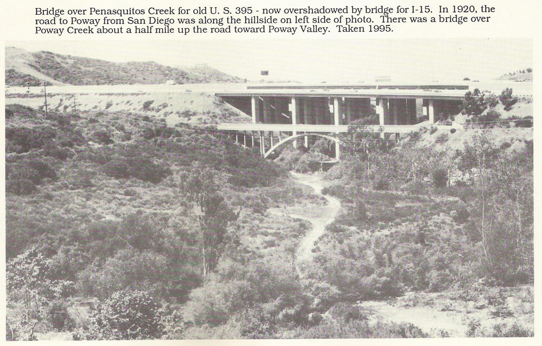
Penasquitos Bridge
 |
|
Photos of the U.S. 395 Penasquitos Bridge
from the post-1949 final alignment now a service road, bike & jogging trail connecting Poway Road & Scripps Poway Parkway |
|||
|
southward 4: the bridge today |
|||
|
current designation |
mandala of Poway Penasquitos ancient tribes foretelling poop pumping facility beneath sacred bingo grounds |
||
Cara Way & Scripps Poway Parkway service road entrance |
SPP I-15 onramp northward view, bridge in distance |
||
northward 2, full bridge span |
northward 3, Poway Rd offramp sign
|
||
blurry photos above © Derrick Garbell flip-phone camera September 2007 |
|||
Poway Road intersection 1962, on U.S. 395 just north of this bridge |
|||
two bridge construction photos courtesy |
|||
1965 grand opening article Poway Chieftain |
|||
1971 aerial view of two bridges facing south Freeway overcrossing in foreground is Poway Road - Rancho Penasquitos Boulevard |
|||
| Wide angle Mapquest photo: includes current I-15 and Penasquitos Creek Bridge on the west (red arrow), and even older segments of Old U.S. 395, Pomerado Road, on the east edge of view (purple arrow) |
|||
page modified 25 June 2015
|
|||